Showing posts with label new england. Show all posts

Friday, August 5, 2016

Borderland State Park, MA

Today started off in Foxboro MA, home of the New England Patriots, Go Pats!,
At the Commons
at the Commons Restaurant and even though it was one of those Sunday mornings where we had to wait for a table we (I) maintained our humor and let the time and worries roll away. Nana and I were served coffee right away by a cheerful waitress, we ordered and the food seemed as though it had been waiting for us on the back shelf..good friendly fast service. (Once we got seated). Nana had the breakfast burrito and I broke from tradition and had a Western Omelet...hmmm... I see why people like these things. I have discovered that some other tiny traditions have crept into our breakfast outings.. I always take a bit of Grape Jam on my toast while Nana is an Orange Marmalade woman...seems to be consistent. I checked out the driving time to the Park I had selected and it was only about 12 minutes away. Once we paid and made one last tour of the restrooms we set off for Borderland State Park, somewhere new as is always the goal. It was an easy drive and SIRI gave us great directions so we arrived in the predicted 12 minutes. Technology is getting to be so good at thinking for us that we will soon forget how to use maps or the Dewey Decimal System -- and I know that anyone reading this has fewer than three phone numbers committed to memory.  To my surprise when, we arrived at the park, there was a fee of $6.00 to be paid and it was a fully automated system requiring 
 
$6 to Park!
me to exit the car and approach an unfamiliar bit of technology and have a conversation with this machine by pressing buttons, declaring statehood and inserting plastic money. It then spat out a receipt and I was instructed to place it on my dashboard in full view so the dashboard police and make sure I am not violating any rules.  All in all a good system, and I don't really begrudge the six bucks, as it turned out that this was a beautiful place for Nana and Pappa to walk. We found our way to the park headquarters and got a free map of the trails and grounds, and made use of the facilities one more time..too much coffee I guess.
At the trailhead.
We started off on the West Side Trail and wandered to the French Trail and by the time we made it to the Granite Rock Trail where we discovered a huge bolder field and the walking had more of an uphill, down hill personality. Not real huff and puffing walking but noticeable. At some point we wandered back toward the lake, then on and on until we made our way to some very large fields on the east side of the lake. Upon leaving the fields we met a couple of guys who were walking several very large dogs. Bothe the men and the dogs were very friendly. I wish I could retain the breed of dogs a couple of them were but I cannot recall what we were told but they were very large dogs - maybe black bear sized dogs - very friendly. We pressed on and the young men told us that it was just about a mile back to the parking area, but also said it was going to 'really rain in about 20 minutes' so we picked up the pace. It never rained. 
The big house
These grounds were made by the Ames's in around 1910-ish  - you can look it up. But the long and the short of it was that they made this place their home and later left it to the Commonwealth of Massachusetts - the name Borderland comes for the fact that it is on the border of a couple of towns - Easton and Sharon, MA. It is quite a beautiful place and they have a Frisbee Golf course and apparently hold public events frequently in the big house. Nice!
Nana and I hike around the whole grounds surrounding the house which is lush with gardens and sculptures and waterfalls. Very nice ending for a day on the trail.  As usual I was completely wet for the walk and Nana had the presence of mind to pack an extra shirt for me to change into so I wouldn't embarrass myself, or her, should we meet up with anyone. As it turned out we were near a Woodcraft Store, and I can't pass one of those, meaning we did stop on our way back home..so thanks Nana for thinking of me. Now a few more pictures.

Bolders along the trail

Special birding spot

Near the big house

Our trek

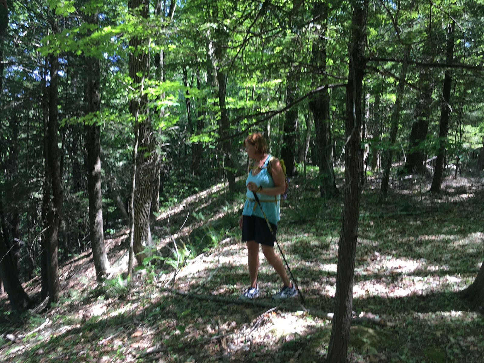
Nana on the trail

Sunday, June 19, 2016

Father's Day - Mashamoquet Brook State Park

Mug Shot
Happy Father's Day to everyone out there where it is appropriate, the rest of you. . . never mind. We headed out a bit later today than planned but had a relaxing morning at the house before getting underway. I found a place in Connecticut that looked interesting and was only an hour away. So with that place in mind I searched the web and came up with three likely candidates for breakfast. We settled for a place on Route 6, west of Providence, called Cindy's. As we were driving west on Route 6 my older brother called and we had a great conversation in the car but drove right past Cindy's and made it a few miles down the road before recognizing my incompetent inattention. So, with Siri really mad at me, we made a u-turn and found our our way back to the diner. A delay of nearly 8 minutes. . . . but who is counting. We had to wait just a couple of minutes before being seated, never thinking that it might be crowded on Fathers Day.
Cindy's

Everyone in the restaurant was very happy and chipper and full of kindness and smiles. Coffee came straight away and I had the Fathers Day Special -- 2 eggs, home fries and toast, with a steak. Nana had Eggs Benedict and we split a half a Belgian Waffle with apples as an added Father's Day bonus treat. Mmmmmm. Food and service was excellent, and they even got my toast right, always the sign of a great place. Once done and paid, we plugged in the directions to Mashamoquet Brook State Park in Pomfret, Connecticut about a half our further down the road. We found it easily and were just a little surprised that they had an entrance fee of $15 which seems a little steep but as it turns out it was worth it and we have since learned of another parking area that is free. See the map below.
Nana and Pappa
We decided to walk the blue dot trail which seems to circumnavigate the perimeter of the park and my app said that it was about four and a half miles long. From where we parked we immediately started to climb and soon came to the Blue Dot trail which would be our trail around the park. This trail is very well marked and a relatively easy trail despite the nearly 700 feet of elevation gain and loss long the way. I, of course, did a lot of huffing and puffing along these steeper slopes but that has a lot more to do with my condition than it does with the trail. And let me comment here on what a good job the state of CT has done on maintaining these trails, they are wide and very well marked with signage and maps at every intersection. There are several features marked out on the trail map that we enjoyed along the way. The Wolf's Den was a great out cropping of stone and the Indian chair was a naturally broken rock that was the exact size and shape so it could be used to overlook a high bluff.
Nana in Indian Chair
Nana started to take my picture and didn't realize immediately that there was a sheer drop off behind her..she doesn't have a good appreciation for heights and sheer drop offs. She discovered he error in time and we had a good laugh. An amazing natural stone. These features were about half way through our walk and as we continued on the trail we met a few people - another couple our age who were walking their dog and a father and his two sons (who didn't look like they wanted to be hiking) and a young lady walking her dog. It is always nice to meet people along a trail as most everyone seems open and friendly, at least that has been our experience so far. It was some time after this that I realized that this walk was going to be a bit farther that was advertised but it was a beautiful day and we did not have a schedule so it didn't matter but I was beginning to get tired, but we had plenty of water and I slowed the pace, especially on those uphill slogs and it turned out just fine. We met up with the young lady and her dog once again and chatted for a while,she was very friendly and commented on my hiking stick. She was walking with two nordic sticks. The chat was just long enough for me to get fully recovered from the last uphill. Thanks unknown lady. It was only about a mile back to the car from there and as we neared the end of the Blue Dot trail it got wide and flattened out until the final downhill back to the brook and to the parking area. My app said it was 6.6 miles, which was wrong as other (smarter?) apps told us -- it was really just about six miles. More pictures below. . .
The Brook

Projectile Sweating - hot Pappa


Nana on an uphill

Steep stuff around here

Wolf Den
Map with free parking marked


Sunday, June 12, 2016

All to ourselves - Douglas State Forest

The Picket Fence
Back to our Sunday routine, well, almost. We were up and out of the house early today as our grandson had an eight thirty flight lesson and we always show up for that. After we got him situated and I took some pictures, Siri told us the directions to 'The Picket Fence', a great breakfast house in Douglas Massachusetts. See the picture to the right. It was a great old building and seemed a very popular place but we were seated immediately and although all of the wait staff were really busy we were served in very good time by a very friendly waitress, the coffee was good and hot and they had a sheet filled with specials and we are almost always a sucker for specials. This time we both decided to have an omelet special, the taco omelet, filled with chili, cheese onion and lettuce.
Mug shot, yes again
Our waitress told us she had never had it but was planning on trying it at the end of her shift.We were both amazed at the fast service and everything was done with great efficiency. Our breakfast arrived so quickly is was as though they had it sitting on a shelf in the back just waiting for us. And it was good. I normally stick to the two eggs, home fries and toast special, the number one in just about every breakfast place in North America, but this taco omelet was very good and if I see it on a menu again, I'll order it up. Nana and I had a good time chatting and people watching - we saw a woman with camo patches glued to her back and a man with no ears - we like Douglas Mass. Once done and paid we walked out of the restaurant and into a Norman Rockwell painting. The view across the street, which apparently we missed walking in, was just so much Americana that you could almost weep. It is Main Street USA!
Here is a picture.
Douglas, Massachusetts
How's that for a slice of American Pie! Siri took us West for about three miles to the Douglas State Forest where the ranger on duty didn't charge us the $11 he should have because we were 'just hiking', nice guy! We found a place to park and walked down to Wallum Lake and searched out the trailhead. We actually ended up hiking on two different trails.The first loop we did was called the Cedar Swamp trail.
Cedar Swamp
This trail had a nice boardwalk through all the mucky spots, and was dubbed a 'healthy trail' why it is called that we don't know, but I AM feeling much healthier and I know Nana must be too. Some where along this trail we missed the markers and strayed for a bit but that is no matter, we found our way back to the main trail and looped out back to the main road to discover that we were walking on the 'Coffee House Trail'. Excellent we though, there must be a Coffee House along here. This proved to be in error. For the first mile or so the Coffee House Trail shared the path with the 'Mid State Trail' which cuts across Massachusetts North to South, South to North, from Rhode Island across Massachusetts to New Hampshire. Now that would be a fun walk in the woods. This area is strewn with boulders and rock outcroppings and is a little bit hilly in spots but I barely worked up a good puff and grunt. Nana just keeps moving along like she is walking on pavement and I don't think she ever even began to sweat.. I was a bit wet. . .
Stone wall along stream
We came across a huge stone structure, a wall of some sort and Nana scrambled to the top to see what it was. Turns out to be a dam of sorts keeping back a bit of water which was covered in lily pads and cattails.  There was a spot in the dam where the water tumbled down a series of little falls and under a bridge. At this point we were about 3 miles into our walk and realized we had not seen another person since we started on the trail. Not one. And as it turns out it wasn't until we got back to the car that we saw people again. Everyone had gone down to the beach and there was not a single other hiker in the woods but us, and this is a truly beautiful forest. So if you want to have a forest to yourself try the Douglas State Forest. And now for some more pictures.
The beginning by the lake

Nana on a bridge

Lots of mosses and ferns

And beautiful flowers

Midstate Trail Marker

Monday, May 30, 2016

With Friends - Prudence Island

Back at the Sunset Cafe
We got a good start this morning and made it to Bristol in good time to have a leisurely breakfast at the Sunset Cafe before catching the ferry. The service was great and the food fantastic and all without the rush we had the last time we were here. A short walk back to the car to get our stuff and off to the ferry. Once we got our tickets we found our way to the top deck and got a great seat right behind the pilot house. I started a sketch of the pilot house as Nana and I chatted.
My sketch
A lady and her two daughters sat down next to us and struck up a conversation and we all chatted all the way to Prudence. She was very nice and we exchanges info, hope we meet up again. We were met at the ferry landing by our friends and made it to their house, which overlooks Narragansett Bay. Their daughter and husband and kids were there along with Andi's mother Hope and Andi's brother and his girlfriend were there as well. A great crowd to hang out with. After a period of chatting and catching up we struck out for a hiking trail leaving Hope behind. We drove to the North end of Prudence and walked along a well traveled remains of a roadway that had once led to the old ferry landing at the north end of the island.  All in all we walked about three and a half miles. We had great conversation and I think we all had a couple of ticks on us at one point or another. I pulled seven ticks off and two more on my clothing when we got back to the house...
A great meal was prepared and we had another wonderful day on Prudence. The ride back was uneventful if a bit noisy because of some rowdy children, but kids will be kids.

Some Pictures:

At the start

You Are Here

The crew

Easy Walking

Marsh lands

Blue Eyed Grass

Nice Trail - F. Gilbert Hills State Forest

Hot Coffee. . .
This day didn't start well.. there was a lot of Nana and Pappa stepping all over each others emotions leaving both of us a bit grumpy. We have been experiencing a lot of stresses coming in from external sources. But we made it through breakfast at the Looking Glass Cafe in Mansfield, MA. and then off into the woods. The F. Gilbert Hills State Forest seems a beautiful spot with wide well marked trails that ramble through a forest that is lush and spotted with large solitary boulders and filled with ferns and wild flowers. Once we were well into the woods the stresses began to fall away and our walk became the calming experience we have had in the past. One of the more amazing things we found in the forest was Lady Slippers. The beautiful flowers were along side the trail in several places and always a treat to find. As I mentioned the trail was well marked and even though we took several 'side trails' we were never in fear of loosing our way as the trail markers were clear and the trail map I had downloaded and printer seemed to be fairly accurate if general. Below are some photos of the day.

Nice Trail

Solitary boulders abound

A view of a pond

Nicely marked

Lady Slipper

Our walk - and more trails to explore

Monday, May 2, 2016

Muck and Briars - Freetown Forest

Gina's, Fall River
With rain threatening we set off to Fall River and a place I found on the internet called Gina's Restaurant. Gina's is in a residential area just north of downtown Fall River and it is a very popular place, at least on Sunday mornings. We had to wait for a table, not long but things were hopping, and yet the staff were all happy and very friendly. Once we sat down we had coffee and menus immediately. Lots of good things to choose from the menu. Being Fall River I certainly expect to have at least a couple of good Portuguese foods on the menu and I was not wrong. I had the number 1 special, 2 eggs, home fries, toast and chourico meat..not the chourico sausage (which is what I expected) but rather thin sliced pork in the special herbs and spices that make chourico what it is.. oh my goodness what a treat. It was out of this world good...we will be back here again! Nana had an omelet and pancakes (which I helped with) and we both were pretty full when it came time to pay the bill. So my recommendation is that the next time you are in the Fall River area, Look up Gina's Restaurant on Wilson Road and you wont be disappointed. It is fantastic.
Out front
I had spent some time on the computer looking for new places to explore and found the Freetown State Forest, just a few miles from Fall River and Nana and I agreed that it looked like a great spot. We followed the directions that Siri told us and ended up in Assonet where the Forest is and every entrance was blocked off and had 'No Parking' signs posted. this was discouraging, so we decided to head out in another direction when we saw a sign for Profile Rock...and followed the signs. This led us through the village of Assonet and what a charming old New England village Assonet  is. Assonet is a village within the town of Freetown and was founded in 1659 according to the sign.  After a few lefts and rights we found our way to the parking area of Profile Rock which according to indian legend is the profile of the famous Wamponoag Indian Chief Massaoit. We parked in a nicely maintained parking area and followed a gravel path marked with a blue triangle and were soon overlooking the rock itself. It is a very large rock on a rocky hillside and the profile is very obvious and distinct.
Profile Rock
We watched a young couple scramble down from the top of the hill and began our walk around the rock and through the surrounding woods and within minutes were back at the parking area. This was a nice walk but certainly not a long walk at all so we took off on another trail just across the road from the parking lot, and by the way, that blue triangle that we saw leaving the parking lot was the only trail marker we saw all day. . . but this trail was an obvious trail and was used by motor bikes and ATV's by the tracks left behind. We both commented that there was really nothing distinguishing about the forest here. Most of the places we have walked have a very noticeable personality but his place didn't, the walking was pleasant but, well, just so so. Until... we came to the first bout of muck and running water. As we came around a bend in the trail we began experiencing more and more muddy spots that gave way to large puddles in the path that needed to be negotiated by leaving the path, skirting them to keep dry. We then came to a stream, and although small was not crossable at the path, so we began our first off trail exploration to see if we could find a place to cross. We press on through a lot of briars, this area has a lot of briars, and soon found a spot. Watch the video below.

As you can see we made it across the stream with little trouble. However this is really where the trouble began. We had to fight the briars to get back to the path and by the looks of things on my map the path should join back up with the cleared gas line right of way which leads back to the parking lot, and sure enough within a few minutes we broke out of the forest to the clearing. From here it should be a straight shot back to the car, about a mile of easy walking...so we thought. We soon came to a very wet area, a bog, and very mucky with black mud and lined with briars. I attempted to make a crossing and got somewhat stranded while Nana made her way to the edge of the clearing and began a slow bit of progress along the side. I joined her and the going got very exciting. Technical muck and briar hiking.. we were slowly making little bits of progress and poor Nana had on short pants and her legs were getting sliced up by the briars and feet were getting wet and well it came to an end abruptly when we could no longer make any progress. Frustrated we made the decision to turn and make our way back. Reversing the process, was just as painful, and the frustration was punctuated with moments of laughter at the situation as we really felt as though we were stuck at times. Nana got her walking stick stuck in the muck and it undid itself (we fixed it) and I lost my stick altogether but I snatched it up as it threatened to float away. We made it back onto dry ground and took stock of where we were. I checked and double checked the maps I had (on my phone) and according to the arial view, if we just cut through here we should meet up with the main path. And then there was a path leading off in the right direction..which lasted about 50 feet and just disappeared. Again we were fighting the briars, and although we were on dry ground is was still not he kind of walk either of us wanted to be doing. We gave up again and headed back to the clearing in total frustration and found our way to to path we had originally came in on. The muck and briars had won, we headed back the way we came..which would mean another stream crossing but at least we knew we could do it. When we got to the stream I scouted another route and found a place upstream that had a well placed rock and it was an easy hop across the stream and only a few briars. Now the whole time we were walking it was threatening to rain, and we did get sprinkled on a couple of times, but the rain held off, thankfully and we were soon back at the car where Nana took off her wet shoes and socks and we now know to carry extra dry socks in our packs. All in all I give this walk one star out of five . . . the Profile Rock is interesting but the trails, well they could use some improvement . . even a few trail markers would help. Here are a few more pictures. I wish I had taken some pictures of the muck but I was preoccupied just trying to stay upright.

Base of the hill

Behind the rock

Poor Nana's legs - and this is an early shot...
2.5 miles total - in 1 hour and 45 minutes -slow moving in the muck